Home >Mobile Tutorial >Mobile News >Nokia announces cooperation with HERE Maps to use GNSS satellite system to improve positioning and tracking capabilities in the industrial control industry
Nokia announces cooperation with HERE Maps to use GNSS satellite system to improve positioning and tracking capabilities in the industrial control industry
- 王林forward
- 2024-02-13 22:15:30618browse
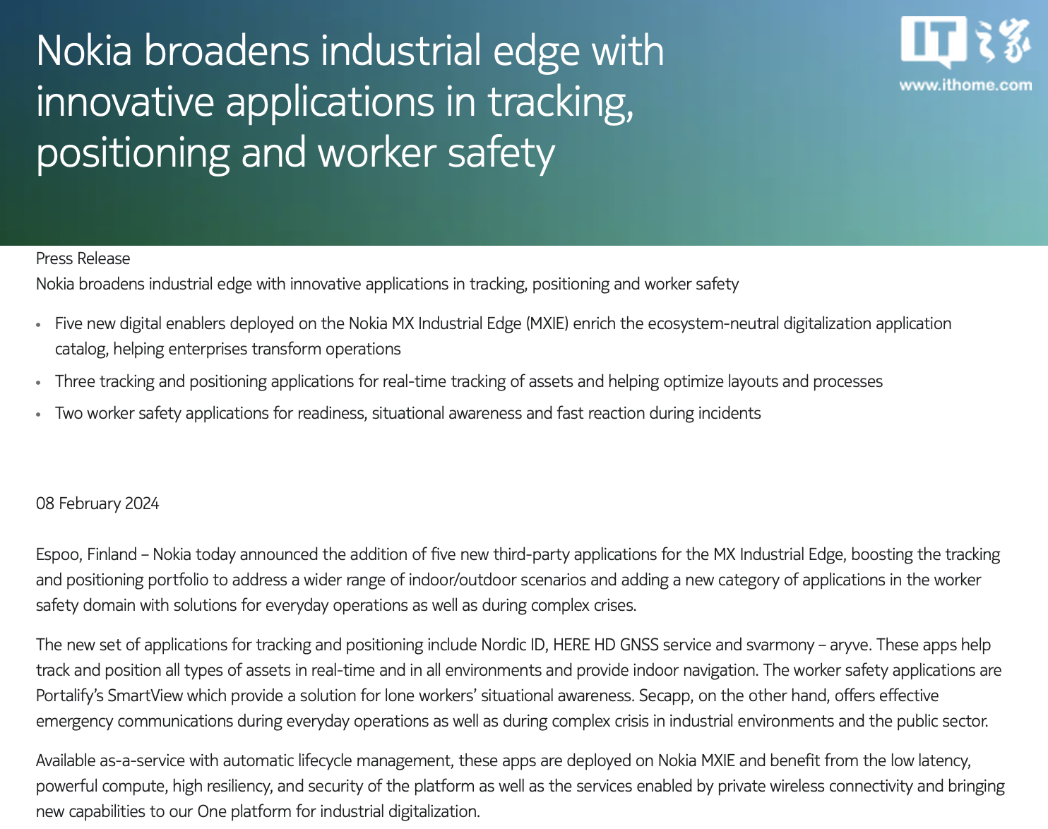
February 10 news, according to Nokia’s official press release, Nokia yesterday announced a cooperation with HERE Maps, using HERE Maps’ GNSS (Global Navigation Satellite System) positioning solution, combined with Nokia’s 5G technology to improve the positioning and tracking capabilities of the industrial control industry.
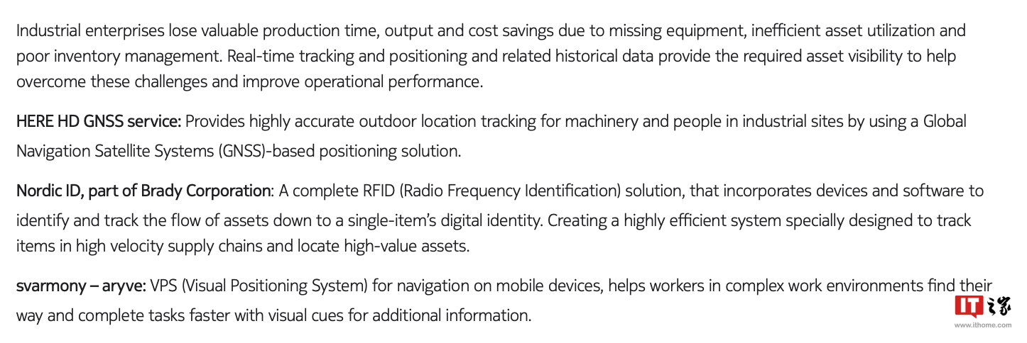
 We learned from the press release that Nokia has jointly launched an application called "HERE HD GNSS" with HERE, which claims to be able to locate all industrial control assets in real time and provide indoor navigation. In addition, Nokia It has also cooperated with some other companies to launch applications such as Nordic ID and Svarmony-Aryv, which are said to provide effective emergency communication capabilities for industrial control departments.
  According to data, Nokia sold its HERE map business in December 2015. Since then, HERE Maps has focused on developing the commercial field, while in the consumer field it has mainly launched a HERE WeGo map application, which is only for Open to overseas users.
The above is the detailed content of Nokia announces cooperation with HERE Maps to use GNSS satellite system to improve positioning and tracking capabilities in the industrial control industry. For more information, please follow other related articles on the PHP Chinese website!
Related articles
See more- Nokia Bell's new runway: taking advantage of the industrial Internet of Things to promote the integration of data and reality
- Nokia mobile phone manufacturer HMD Global plans to launch a new HMD brand mobile phone in the first half of 2024
- China Telecom has restarted work in the 800M 5G frequency band, and the winning candidates include Huawei, ZTE, Nokia, Ericsson, etc.
- Revealing the new version of Android 14 for Nokia G60/G42 5G mobile phones, triggering a wave of testing with significantly improved performance
- The end of an era! HMD mobile phone official announcement: abandoning the Nokia brand

