 Backend Development
 PHP Tutorial
 Geographical positioning and map display using PHP and mini-programs
Geographical location positioning and map display of PHP and mini-programs
Geographic location positioning and map display have become one of the necessary functions in modern technology. With the popularity of mobile devices, people's demand for positioning and map display is also increasing. During the development process, PHP and applets are two common technology choices. This article will introduce you to the implementation method of geographical location positioning and map display in PHP and mini programs, and attach corresponding code examples.
1. Geolocation positioning in PHP
In PHP, we can use the third-party geolocation service API to obtain the user's geolocation information. Among them, Google Maps API is the most commonly used one. The following is a simple PHP code example for obtaining the user's geographical location information:
<?php
$ip = $_SERVER['REMOTE_ADDR'];

$url = "http://ip-api.com/json/".$ip."?fields=lat,lon";

$response = file_get_contents($url);

$data = json_decode($response, true);

$latitude = $data['lat'];
$longitude = $data['lon'];

echo "Latitude: ".$latitude."
";
echo "Longitude: ".$longitude."
";
?>
In the above code, we first determine the user's geographical location information by obtaining the user's IP address. Then, we call the API provided by ip-api.com to obtain the user's geographical location coordinates. Finally, we output the obtained longitude and latitude information through the echo statement.
2. Geographical location positioning and map display in the mini program
The mini program itself has the functions of geolocation positioning and map display. Developers who use WeChat mini programs can directly call the interface provided by WeChat to achieve geographical location positioning. The following is a simple applet code example for obtaining the user's geographical location information:
// app.js

App({
  onLaunch: function () {
    let that = this;
    wx.getLocation({
      type: 'gcj02',
      success: function (res) {
        let latitude = res.latitude;
        let longitude = res.longitude;
        console.log("Latitude: " + latitude);
        console.log("Longitude: " + longitude);
      }
    });
  }
})
In the above code, we obtain it by calling the wx.getLocation interface provided by the applet The user's geographical location information. And use console.log to output the obtained longitude and latitude information.
3. Map display
In PHP and mini programs, we can also display geographical location information on the map by calling the API of the corresponding map. Taking Baidu Map as an example, the following is a simple PHP code example for displaying a map with geographical location information on a web page:
<!DOCTYPE html>
<html>
<head>
  <title>Map</title>
  <script src="http://api.map.baidu.com/api?v=2.0&ak=YOUR_API_KEY"></script>
</head>
<body>
  <div id="map" style="width: 400px; height: 300px;"></div>

  <script>
    var map = new BMap.Map("map");
    var point = new BMap.Point(<?php echo $longitude; ?>, <?php echo $latitude; ?>);
    map.centerAndZoom(point, 15);
    map.addOverlay(new BMap.Marker(point));
  </script>
</body>
</html>
In the above code, we first introduced the API of Baidu Map and added it to the page Added a div element for displaying the map. Then, we use new BMap.Map to create a map instance, and use new BMap.Point to create a label point, and finally add the label point to the map.
Similarly, in the mini program, we can use the interface provided by WeChat to realize the map display of geographical location information. The following is a simple applet code example for displaying a map with geographical location information in the applet:
// map-page.js

Page({
  onLoad: function () {
    let that = this;
    wx.getLocation({
      type: 'gcj02',
      success: function (res) {
        let latitude = res.latitude;
        let longitude = res.longitude;
        that.setData({
          markers: [{
            id: 0,
            latitude: latitude,
            longitude: longitude,
            title: 'Location',
            iconPath: '/images/location.png',
            width: 30,
            height: 30
          }],
          latitude: latitude,
          longitude: longitude
        });
      }
    });
  }
})
In the above code, we call wx.getLocation## provided by the applet #Interface to obtain the user's geographical location information, and assign the obtained longitude and latitude information to the markers and latitude, longitude attributes. Then, when the page is rendered, the map of the geographical location information is displayed.
The above is the detailed content of Geographical positioning and map display using PHP and mini-programs. For more information, please follow other related articles on the PHP Chinese website!
 使用Python开发微信小程序Jun 17, 2023 pm 06:34 PM
随着移动互联网技术和智能手机的普及,微信成为了人们生活中不可或缺的一个应用。而微信小程序则让人们可以在不需要下载安装应用的情况下,直接使用小程序来解决一些简单的需求。本文将介绍如何使用Python来开发微信小程序。一、准备工作在使用Python开发微信小程序之前,需要安装相关的Python库。这里推荐使用wxpy和itchat这两个库。wxpy是一个微信机器
 小程序能用react吗Dec 29, 2022 am 11:06 AM
小程序能用react,其使用方法:1、基于“react-reconciler”实现一个渲染器,生成一个DSL;2、创建一个小程序组件,去解析和渲染DSL;3、安装npm,并执行开发者工具中的构建npm;4、在自己的页面中引入包,再利用api即可完成开发。
 用Python编写简单的聊天程序教程May 08, 2023 pm 06:37 PM
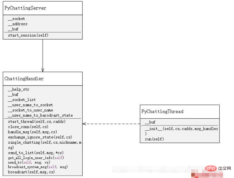
实现思路x01服务端的建立首先,在服务端,使用socket进行消息的接受,每接受一个socket的请求,就开启一个新的线程来管理消息的分发与接受,同时,又存在一个handler来管理所有的线程,从而实现对聊天室的各种功能的处理x02客户端的建立客户端的建立就要比服务端简单多了,客户端的作用只是对消息的发送以及接受,以及按照特定的规则去输入特定的字符从而实现不同的功能的使用,因此,在客户端这里,只需要去使用两个线程,一个是专门用于接受消息,一个是专门用于发送消息的至于为什么不用一个呢,那是因为,只
 Java语言中的微信小程序开发介绍Jun 09, 2023 pm 10:40 PM
微信小程序是一种轻量级的应用程序,可以在微信平台上运行,不需要下载安装,方便快捷。Java语言作为一种广泛应用于企业级应用开发的语言,也可以用于微信小程序的开发。在Java语言中,可以使用SpringBoot框架和第三方工具包来开发微信小程序。下面是一个简单的微信小程序开发过程。创建微信小程序首先,需要在微信公众平台上注册一个小程序。注册成功后,可以获取到
 教你如何在小程序中用公众号模板消息(附详细思路)Nov 04, 2022 pm 04:53 PM
本篇文章给大家带来了关于微信小程序的相关问题,其中主要介绍了如何在小程序中用公众号模板消息,下面一起来看一下,希望对大家有帮助。
 PHP与小程序的地理位置定位与地图显示Jul 04, 2023 pm 04:01 PM
PHP与小程序的地理位置定位与地图显示地理位置定位与地图显示在现代科技中已经成为了必备的功能之一。随着移动设备的普及,人们对于定位和地图显示的需求也越来越高。在开发过程中,PHP和小程序是常见的两种技术选择。本文将为大家介绍PHP与小程序中的地理位置定位与地图显示的实现方法,并附上相应的代码示例。一、PHP中的地理位置定位在PHP中,我们可以使用第三方地理位
 小程序中文件上传的PHP实现方法Jun 02, 2023 am 08:40 AM
随着小程序的广泛应用,越来越多的开发者需要将其与后台服务器进行数据交互,其中最常见的业务场景之一就是上传文件。本文将介绍在小程序中实现文件上传的PHP后台实现方法。一、小程序中的文件上传在小程序中实现文件上传,主要依赖于小程序APIwx.uploadFile()。该API接受一个options对象作为参数,其中包含了要上传的文件路径、需要传递的其他数据以及
 PHP与小程序的第三方登录与绑定功能实现Jul 04, 2023 am 08:57 AM
PHP与小程序的第三方登录与绑定功能实现随着互联网的发展和智能手机的普及,小程序成为了移动应用程序开发的热门选择。小程序不仅提供了优秀的用户体验,还具备各种强大的功能。其中,第三方登录与绑定是小程序中常见的功能之一。本文将介绍如何使用PHP与小程序实现第三方登录与绑定的功能,并为读者提供代码示例。第三方登录是指用户可以使用其他平台的账号信息登录到目标平台,而


Hot AI Tools

Undresser.AI Undress
AI-powered app for creating realistic nude photos

AI Clothes Remover
Online AI tool for removing clothes from photos.

Undress AI Tool
Undress images for free

Clothoff.io
AI clothes remover

AI Hentai Generator
Generate AI Hentai for free.

Hot Article

Hot Tools

SublimeText3 Chinese version
Chinese version, very easy to use

MinGW - Minimalist GNU for Windows
This project is in the process of being migrated to osdn.net/projects/mingw, you can continue to follow us there. MinGW: A native Windows port of the GNU Compiler Collection (GCC), freely distributable import libraries and header files for building native Windows applications; includes extensions to the MSVC runtime to support C99 functionality. All MinGW software can run on 64-bit Windows platforms.

Atom editor mac version download
The most popular open source editor

Notepad++7.3.1
Easy-to-use and free code editor

mPDF
mPDF is a PHP library that can generate PDF files from UTF-8 encoded HTML. The original author, Ian Back, wrote mPDF to output PDF files "on the fly" from his website and handle different languages. It is slower than original scripts like HTML2FPDF and produces larger files when using Unicode fonts, but supports CSS styles etc. and has a lot of enhancements. Supports almost all languages, including RTL (Arabic and Hebrew) and CJK (Chinese, Japanese and Korean). Supports nested block-level elements (such as P, DIV),


